|
|
|
|
|
|
TOP 100 HIKES
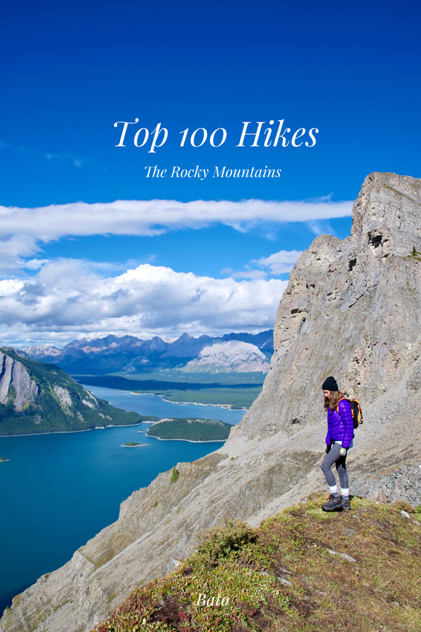
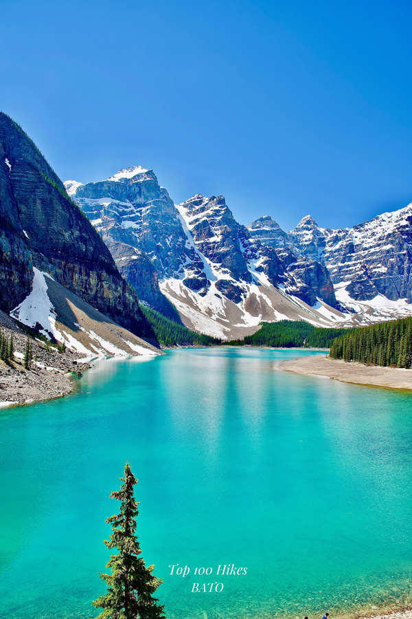
I am excited to present you with the cover of my new book, Top 100 Hikes. The book will come out as soon as possible, however it can be previewed right here. It is going to introduce you with spectacular hikes alongside a stunning collection of photographs. I believe you are going to enjoy these blogs about the magical sceneries throughout my book. Hopefully it will inspire you to further enjoy it in person in one of the most beautiful places on earth, The Rocky Mountains. Through my book and prints, I invite you to bring bits of my stories into your life and home. |
|
|
|
|
 |
 |
|
|
|
|
|
|
|
|
|
|
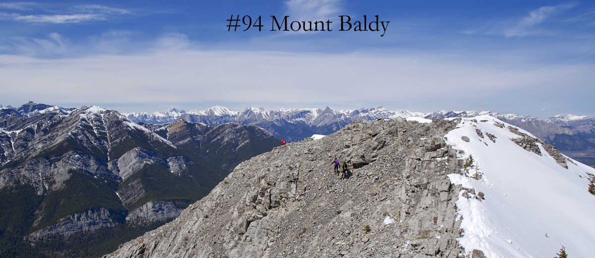
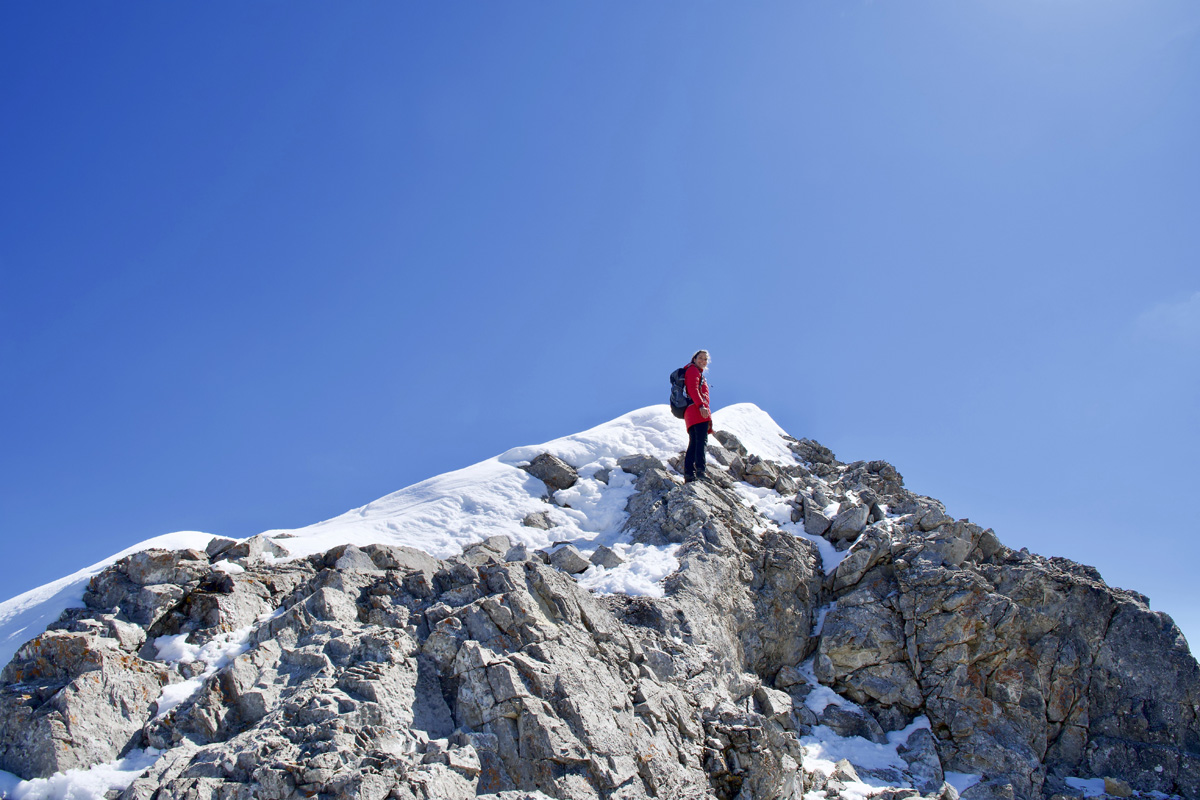
Highlights This is the North Peak tallest one with summit log, beside West
(2,125 m) and South (2,145 m) Peaks on Mount Baldy. The
distance is only 4 km one way, but it is very steep especially at the
summit. Some sections are quite exposed and can be slippery, so caution
is necessary. The trail is excellent for early hiking season because it is one of
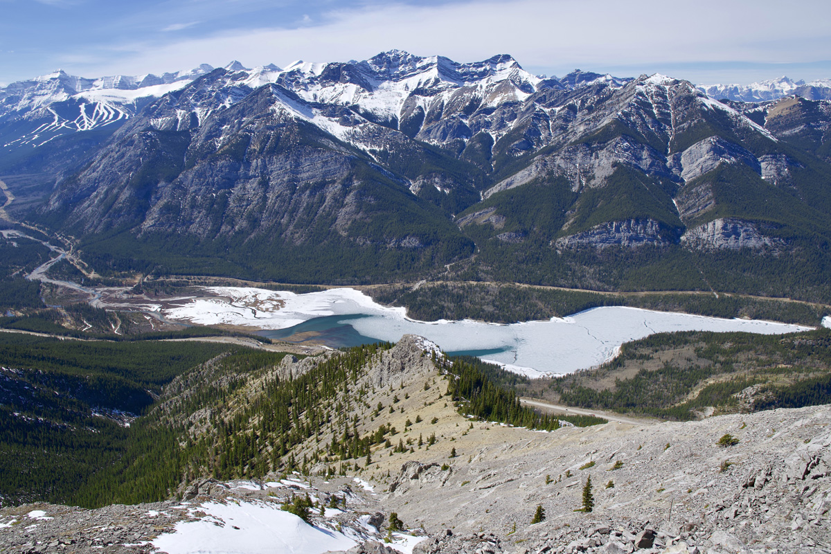
the first trails without snow in this area. Trailhead Park at the Mount Baldy
parking lot on the east side of the Kananaskis Trail Highway where
Kananaskis River entering in to Barrier Lake. If you pass wish well, you have
miss trailhead. Hiking Mount Baldy hike is
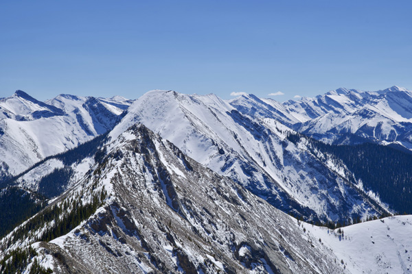
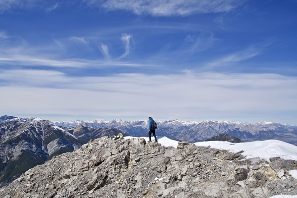
a one way trail or can be a loop that
features beautiful views all the way. Start the trail on the left side
of creek and keep going up on well-established trail through
the forest. Going up
want be easy because every step gaining elevation. At
about half way there is a choice of going straight up and climb steep
path or go right to scramble also steep path which one looks easier.
After 250 m the paths may connect at the rock bench with gorgeous views
as well
as
a view of Mount Baldy summit what is objective of this hike. This is
excellent spot for refreshment. From here you will continue to work your
way up to the saddle. Ones there, you can see what to expect going to
the summit. There is exposed scrambling followed by a fairly steep grade
with many like trails to the top. The lose rock is common and if trail
is wet with snow, could be very dangerous if you are not careful. Once
you reach the summit, enjoy the views, sign in summit log and then take
short traverse of the ridge. If wind allow spend some time up there and
prepare yourself for work your way back down what is not going to be
easy. If conditions allow it is possible to traverse a ridges to another
shorter Baldy Peaks. We did just short ridge walk knowing we have to
save energy for the way back. That was so right, we were so tired that
we have to stop every couples hundreds meters. The worst thing was sitting
on the grass where we found or better they found as a few tics. Perks
of the Trail
|
|
|
|
|
|
|
|
|
For inquiries into my work, please use this Email: bato@telus.net to contact me. I thank you for your interest, and I will do my best to get back to you soon! |
|
|
|
|
|
Copyrights © 2021, Bato. All Rights Reserved.
|
|